
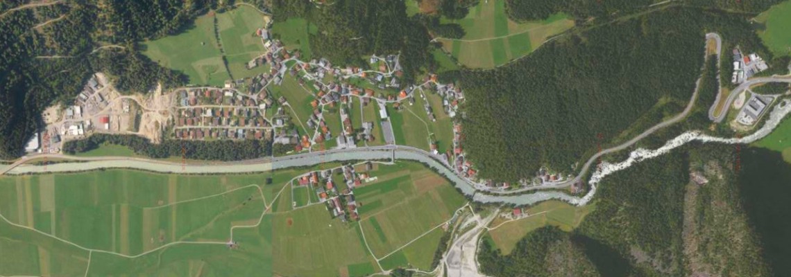
The geology in Tumpen is very special and this has led to the formation of large sinkholes in the past. This is one of the reasons why residents have been resisting the Tumpen-Habichen hydropower station for over 10 years by now. In the following, we summarize once again why the local residents' concerns about the sinkholes are quite justified. On the one hand, this is for all of you that have never heard about the problematic, but also especially for those who seem to have forgotten, or consciously ignore it; such as TIWAG, Ötztaler Wasserkraft GmBH or the Tyrolean government.
In 1996, the geologists Poscher and Patzelt published their study "Erdfälle in den Lockersedimenten des Ötztals“ („Sinkholes in the loose sediments of the Ötz valley") (1) about their research in Tumpen. The following is a summary of their results.
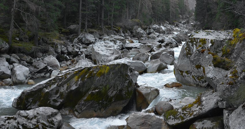
The municipal area of Tumpen lies on the material of a past landslide. The Achstürze section of the Ötztaler Ache is visibly coarse and chunky and made up off huge boulders – and so is the ground underneath Tumpen (see (1) p. 423). Large blocks filled up with finer material form a base full of cavities, which is only stable as long as it remains untouched. But if, for example, water intrudes into this type of underground, it washes away the fine material that fills up the cavities. This in turn leads to material sliding down from above and sinkholes opening up on the surface. ((1) p. 419)
"The sinkholes of Tumpen have occurred several times since 1980, causing damage to buildings and partly reached considerable dimensions. They are always along the Ötztaler Ache and mostly on the eastern shore. During the last major event in 1992, which was accompanied by a seepage of the Ötztal Ache, about 10,000m³ of material were needed to prevent progressive erosion of the underground and to protect the municipal area from further collapse ." ((1) pp. 427-429) (transl.)
Also the perimeter of groundwater to landslide material is fragile and must not be disturbed, otherwise holes in the ground can occur. Or more precisely:
"Increased infiltration of surface waters and the resulting fluctuations in groundwater levels, in conjunction with the unstable perimeter of groundwater to landslide material, can cause a subrosion-like washout of the fine sediments into the loosened and fissured landslide masses and thereby trigger sinkholes.“ ((1) p. 432) (transl.)
But now construction works are planned in Tumpen, directly on the Ötztaler Ache. A dam will be built as well as a gallery for the pressure tunnel will be drilled through the landslide material east of the river Ache (right bank). Whether these constructions were safe to carry out was of course assessed by a geological survey. But not only did the expert copy directly from Poscher's study, he also obviously did not understand the content of said study - as the summary he added to his copy was that construction of the Tumpen-Habichen hydropower plant is 'feasible without problems'. In detail Markus Wilhelm already explained this in 2010 in his blog post "Another TIWAG-expert caught plagiating!“ (in German).
We are wondering if the Tyrolean government, the TIWAG and the Ötztaler Wasserkraft GmbH actually don't care about the residents in Tumpen at all, or if the operators simply have really expensive insurance.
Join our email campaign against the Tumpen dam on saveourrivers.org!
References and links
(1) Poscher, G., & Patzelt, G. (1996). Erdfälle in den Lockersedimenten des Ötztals. Internationales Symposion INTERPRAEVENT, 419-433.
http://www.interpraevent.at/palm-cms/upload_files/Publikationen/Tagungsbeitraege/1996_1_419.pdf
(with an abstract in English)
Title picture: Tumpen aerial photo, TIRIS